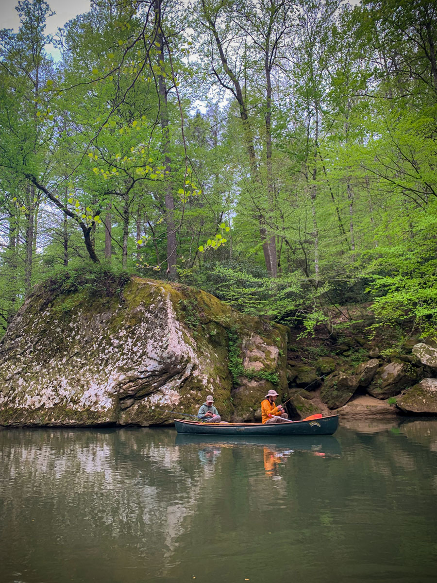
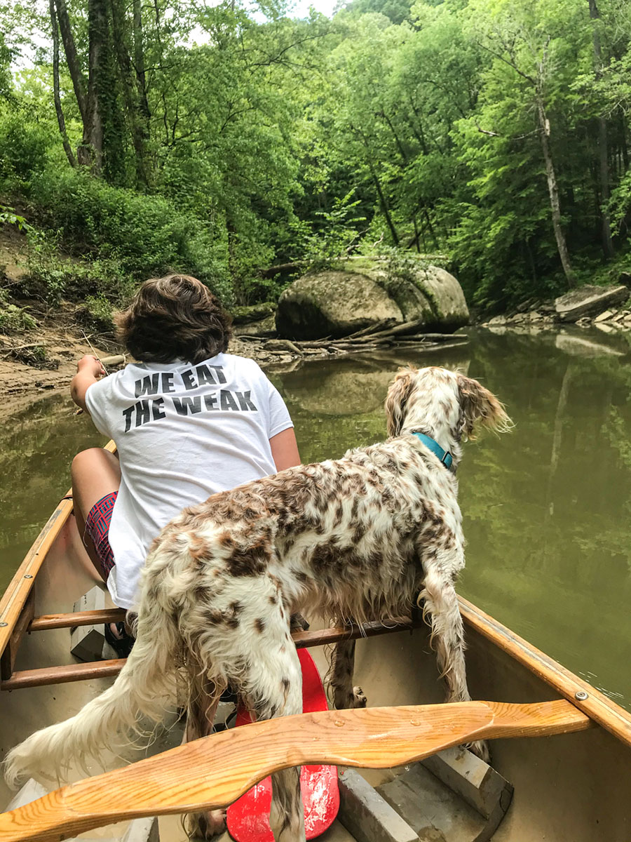
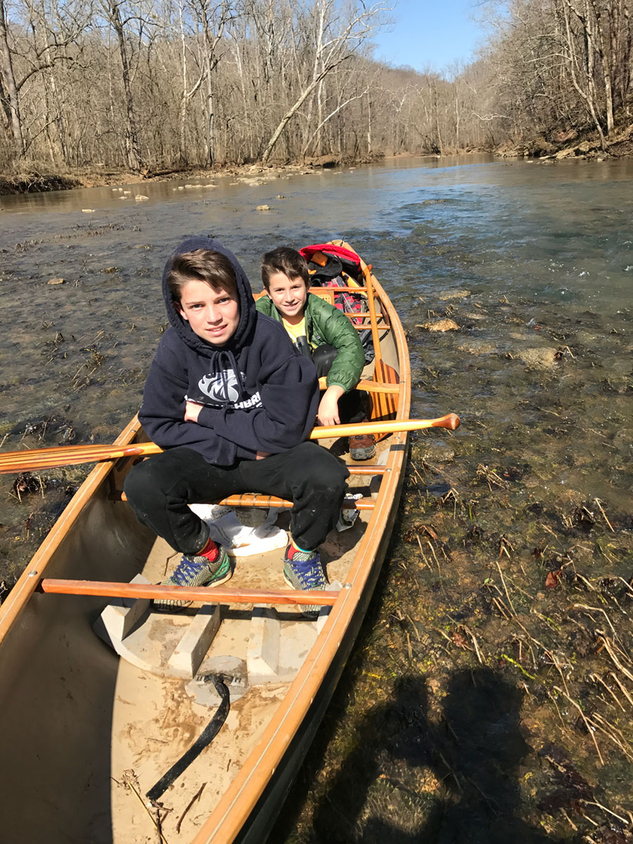
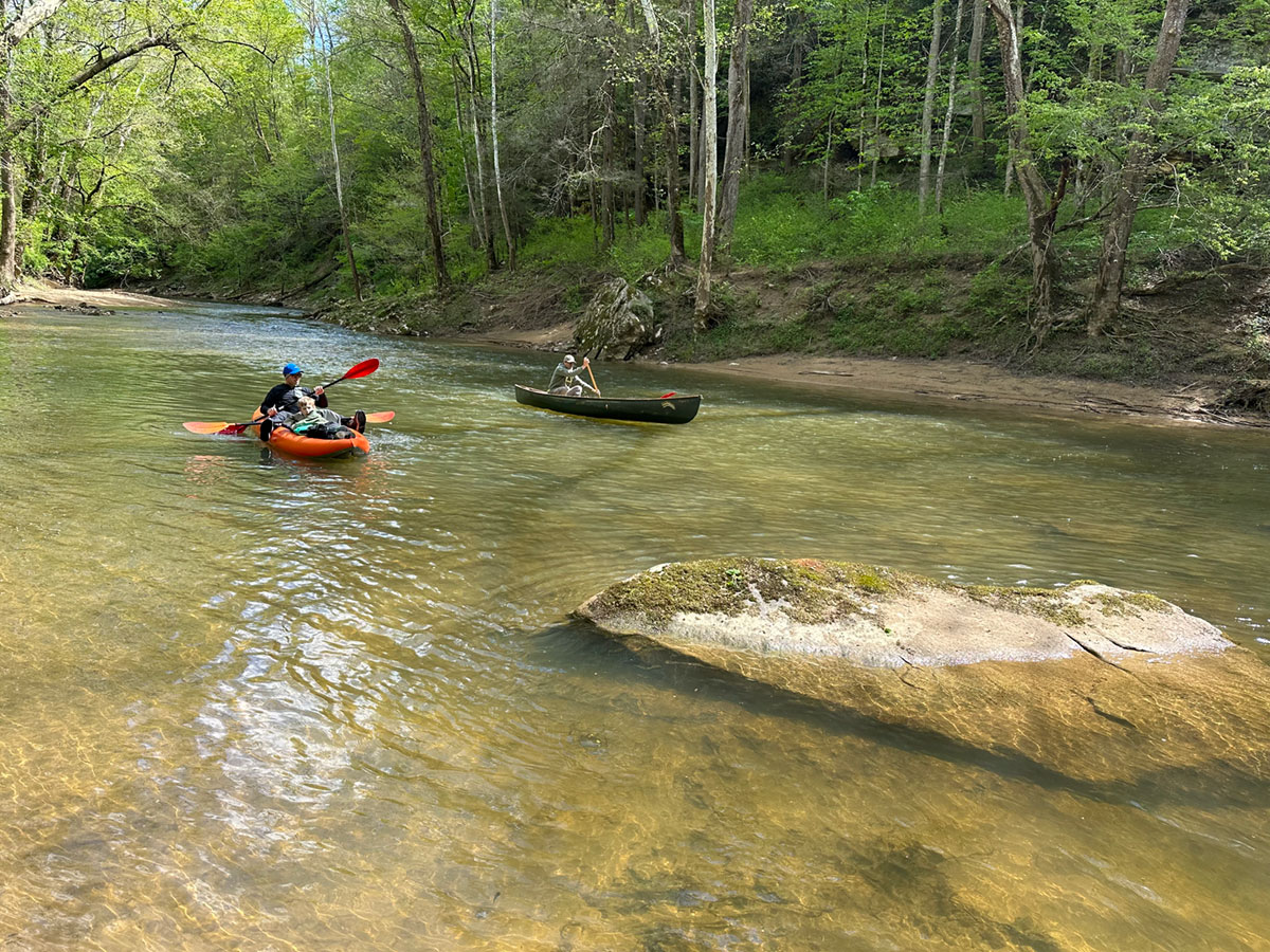
Canoeing the Main Section of River
Copper’s Put-in to the Sheltowee Trail Suspension Bridge — 5.5 miles
Copper’s to the Red River Adventures — 7 miles
I break up the Red River into two sections—the main section, which starts at the Copper’s Creek Put-in with two takeout options. If you are making a self-supported trip, you can take out at the Sheltowee Trace/Suspension Bridge parking area and enjoy a 5.5-mile trip. If you rented kayaks or hired a shuttle from Red River Adventures, you will take out at their Red River Adventure Campground, which is located a quarter mile above the Highway 77 historic iron bridge. The length of this paddle is 7 miles.
How to Access the Copper’s Creek Put-in:
You will launch from the public Copper’s Creek Access. You will see signs and a non-paved road that takes you down to the river to unload your gear. This is a shared public space, so you will unload your kayak or canoe and then find a parking spot on the road. Parking can be challenging during high-peak weekends. If everything is booked up, we recommend having the driver head downstream to the nearest available parking spot. From there, they can hike down to the river, where someone can pick them up from the canoe/kayak.
Note: Be sure to lock your car, and don’t forget to pack your keys in a place they won’t get lost.
Kayak Rentals and Shuttle Service
One of the nice things about hiring Red River Adventures, in addition to supporting a locally owned and operated business, is you don’t have to hassle with parking or the shuttle. It is almost the only way to go during the hot summer months, as parking can be challenging at best.
To reserve a kayak or shuttle, contact Red River Adventures
Go on-line or call to reserve a kayak or shuttle
Call: (606) 663-1012 or (606) 663-5258
Visit their Website
Fun Fact: The owners of Red River Adventures are our neighbors on South Fork Rd.
Spaas Creek Section
Sheltowee Trail Suspension Bridge to the Spaas Creek Access — 8.75 miles
Red River Adventures to the Spaas Creek Access — 7.25 miles
This section is almost always overlooked, which is excellent, bc it will almost always be you and nature. You can start this section at Red River Adventures Campground (7.25-mile paddle) or the Sheltowee Trail Suspension Bridge parking lot (8.75 miles).
The Lower Red
Spaas Creek Access to the Bowen Access — 7.5 miles
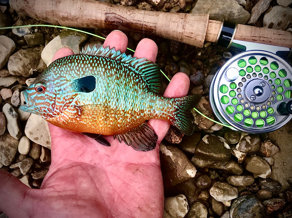
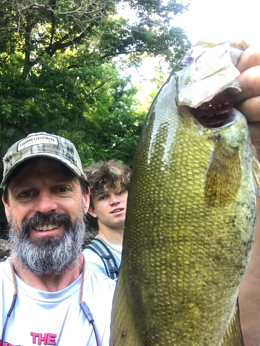
The Spaas Creek to Bowen section changes scenery as it heads into the floodplain, transitioning out of the gorge. It will meander through some private farmland with deep flat pools known to hold muskie if you are into fishing for a rare river monster.
The Infamous Upper Red
Highway 746 to the Copper’s Creek Landing (Hwy. 175) — 10.3 miles
The Red has a spectacular upper section, but it is a 10.3-mile paddle that is very remote and dangerous. Wendell Berry well documented it in his book “Unforeseen Wilderness.” After reading his chapter on their harrowing canoe trip down, this section of remote whitewater, it makes sense why he named the book “Unforeseen Wilderness.” Once you put onto this section of the river, you are committed to a wilderness trip, not many people have seen. This section of river is well documented on American Whitewater’s website and IS NOT recommended for those without the appropriate gear, experience, and weather conditions.
River Map
I provided this map as a guide to break down the different sections you can paddle. I also offered mile markers so you can check out the lengths of each and evaluate the distance covered along the way. I start at Cooper’s Creek Put-in as mile marker ZERO and then add the mileage as you go downstream, as shown with the blue numbered circles on the map.

 naturalist, Wendell Berry, whose book “Unforeseen Wilderness” helped protect the area. In this book, an entire chapter is dedicated to his and his friends’ adventures navigating the remote and precarious waters of the section known as the Upper Red.
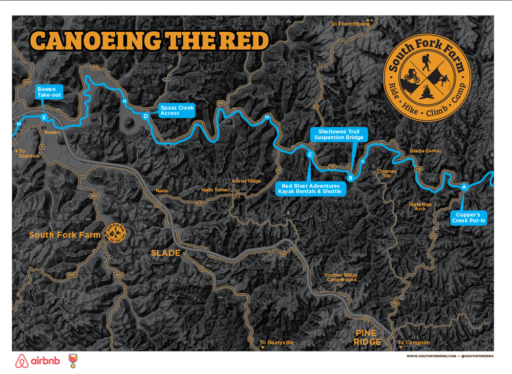